Original: $10.75
-70%$10.75
$3.23The Story
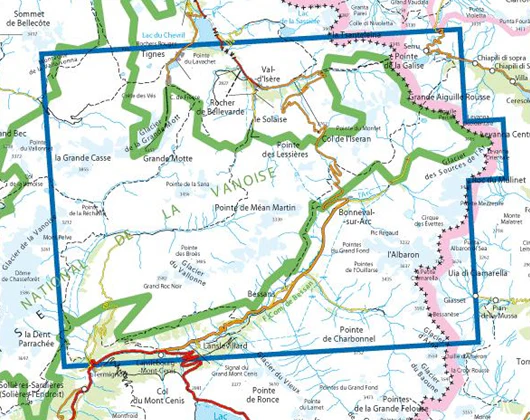
TOP 25 maps cover areas of particular tourist interest. The maps have an overprint highlighting local footpaths, long-distance GR routes and, where appropriate, ski routes. Other tourist information includes campsites, equestrian or canoeing centres, huts, mountain refuges, etc. Map legend is in French and English. Each TOP 25 map covers an area of approximately 28 x 21 km (17 x 13 miles). The TOP 25 map series is printed with contour interval of 5 metres, except for mountainous areas, where the maps have hill shading and contours at 10-metre intervals.
Map 3633ET covers Tignes, Val d'Isère the Haute Maurienne and the Parc National de la Vanoise, along with the eastern part of the Vanoise National Park which together with sheet number 3534OT covers the whole of the Tour de la Vanoise along the GR5 and GR55. On its own, it is sufficient to cover the eastern loop of the tour, with a shortcut between GR55 and GR 5 via Refuge d'Entre deux Eaux. The map is overprinted with a UTM grid for GPS users.
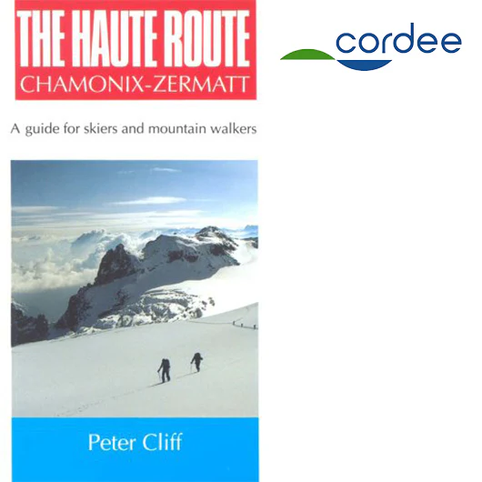
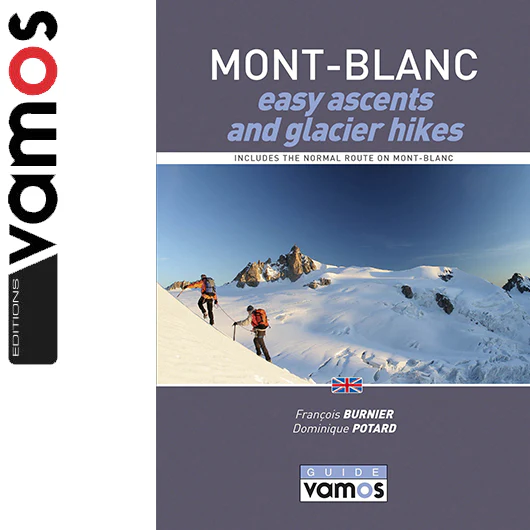
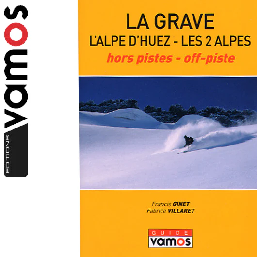
Pictures may not be the actual maps and are just for illustration.
- Map Dimensions 131 x 92cm aprox
Details & Craftsmanship
Every detail has been carefully considered to bring you the perfect product.
Description
TOP 25 maps cover areas of particular tourist interest. The maps have an overprint highlighting local footpaths, long-distance GR routes and, where appropriate, ski routes. Other tourist information includes campsites, equestrian or canoeing centres, huts, mountain refuges, etc. Map legend is in French and English. Each TOP 25 map covers an area of approximately 28 x 21 km (17 x 13 miles). The TOP 25 map series is printed with contour interval of 5 metres, except for mountainous areas, where the maps have hill shading and contours at 10-metre intervals.
Map 3633ET covers Tignes, Val d'Isère the Haute Maurienne and the Parc National de la Vanoise, along with the eastern part of the Vanoise National Park which together with sheet number 3534OT covers the whole of the Tour de la Vanoise along the GR5 and GR55. On its own, it is sufficient to cover the eastern loop of the tour, with a shortcut between GR55 and GR 5 via Refuge d'Entre deux Eaux. The map is overprinted with a UTM grid for GPS users.
Pictures may not be the actual maps and are just for illustration.
- Map Dimensions 131 x 92cm aprox